
Walk a Kennewick Street Directory
A street search can establish ownership, parcel shape, recorded transfers, permit work, and dated directory entries. It cannot produce a sure list of all occupants. In Kennewick, start with the Benton County parcel record because the situs address, parcel number, legal description, and owner name connect the other sources. Situs means the physical location assigned to the parcel.
- Normalize the street line. Test directionals, suffix abbreviations, and unit forms in Benton County Property Search.
- Open the parcel card. Record its year, situs ZIP, owner, Parcel or Geo ID, Map ID, and legal description.
- Use the official GIS link to inspect the lot and adjoining parcels. Treat map lines as reference data, not a survey.
- Search EagleWeb by the owner and legal description. Separate deeds from liens, releases, easements, and other instruments.
- For lawful historical work, compare public voter-list entries and available Polk directory years without publishing a block roster.
The flow is address to parcel, parcel to owner, owner to deed, and dated address to historical directory. If one link conflicts, keep both source statements and check the underlying document.
Work one parcel at a time. Copying a whole search-result row can blur units, duplicate owners, or mix mailing and situs fields. For each Kennewick address, keep a small record of the exact street form searched, portal year, parcel ID, owner type, map ID, legal description, and next document number. This makes it possible to repeat the street directory search after a portal update.
Search Kennewick Situs Addresses
The Benton County Property Search has property, sales, and map routes. The inspected card groups account, location, owner, tax, improvement, land, image, roll-value, deed, and sales data. Search by street first, then use the stable parcel number for later checks.
| Search or card field | Format to keep | Street use |
|---|---|---|
| Address | Directional, number, street type, unit | Finds the location record |
| Parcel or Geo ID | Exact portal number | Links the property to map and deed work |
| Situs city and ZIP | Physical location fields | Separates the parcel from tax mail |
| Owner and share | Name, ID, ownership percentage | Identifies owner of record only |
| Legal description | Addition, lot, plat, AF number | Tracks land despite address changes |
| Map and neighborhood IDs | Exact codes shown | Checks nearby parcel context |
The property portal is informational and may change. Save the tax year and access date with the result. An LLC, trust, estate, or remote mailing recipient may own a Kennewick parcel without naming its residents.
The official search screen shows the available starting paths.
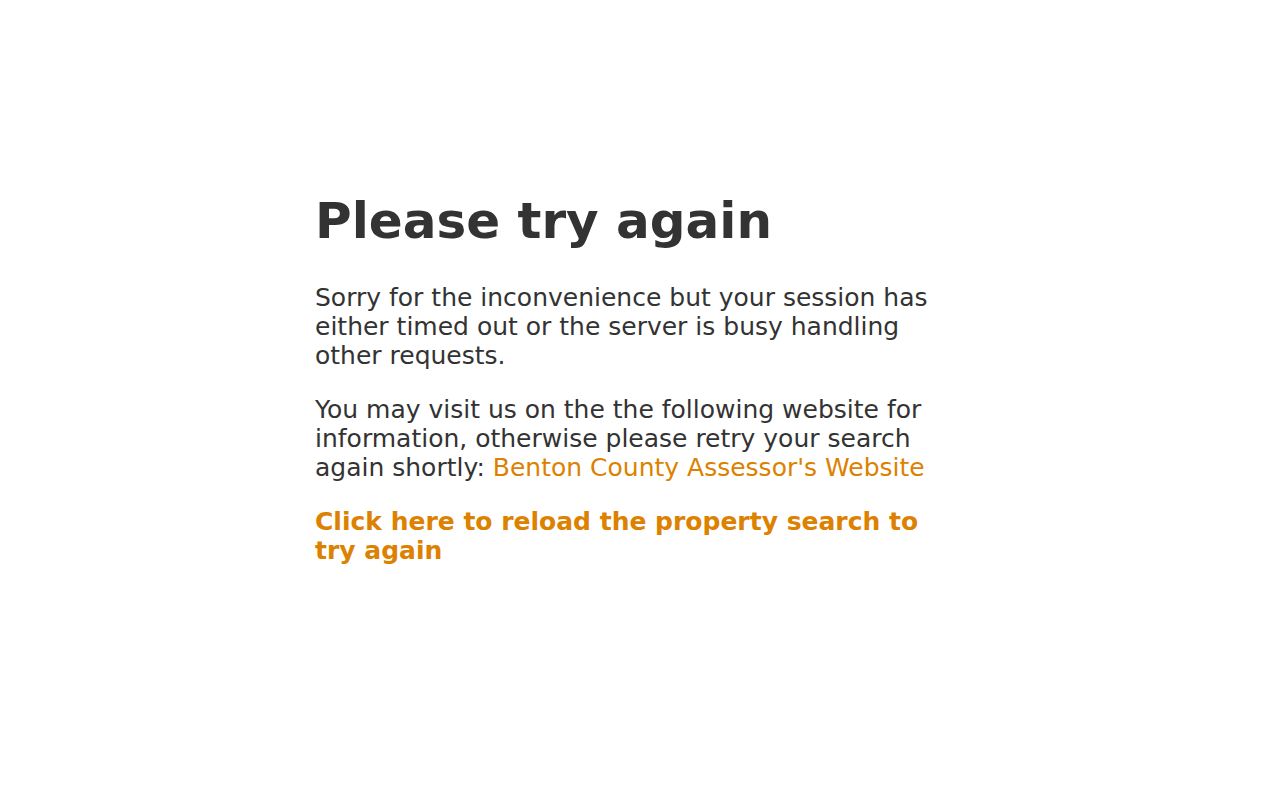
The full parcel card, not the short result row, supplies the stable IDs for the next records.
Kennewick Mailing Address Trap
A Benton parcel card makes the mailing and situs split concrete. The observed sample places the property at 95 E 22nd Pl., Kennewick, in ZIP 99337, while tax correspondence goes to a Kennewick address in 99338. The owner is an LLC. Neither the mailing ZIP nor that company name proves who occupies the property.
This is a useful street directory check. Label each address by its portal field instead of copying both into one household entry. The situs line identifies the mapped tax parcel. The mailing line shows where the county sends notices. A separate directory, voter record, deed, or dated file is needed to connect a person with the street.
The sample Benton parcel card displays both address types.
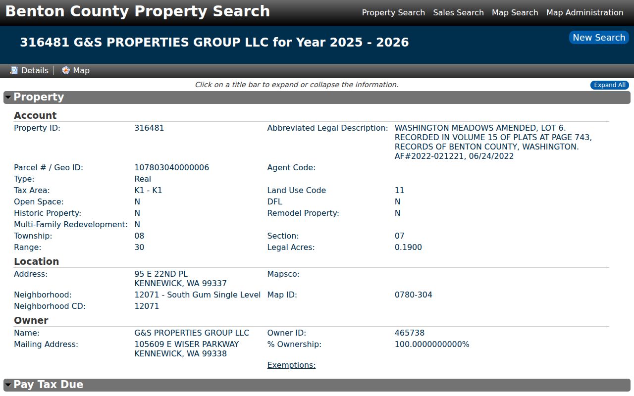
The card also shows legal description, map, tax, values, land, and deed-history groups that can resolve a street match.
Map Kennewick Streets by Parcel
The Benton County GIS Hub is the official mapping entry. Use the parcel card's map link or ID to locate the lot, compare road and lot geometry, and note adjacent parcel labels. GIS helps when one street number yields several units or when a parcel has changed shape.
Exact current viewer controls and every available layer were not verified in accessible official text. Follow the portal's own labels and disclaimer. Parcel lines can lag splits, annexations, road work, or corrections. They do not replace a boundary survey, recorded plat, or title review.
Kennewick Street Deeds in EagleWeb
A street address may change, but a legal description can persist. Take the current owner, subdivision or addition, parcel data, and AF number from the assessor into Benton County EagleWeb. Search the owner as grantee, then follow the prior owner as grantor. A grantor conveys an interest; a grantee receives it.
Sort the results by document type. Deeds can transfer title. A deed of trust secures a debt, a reconveyance can release it, and liens, easements, assignments, and notices have other roles. Compare recording date, legal description, volume or page, and Auditor file number before attaching an instrument to the parcel.
The EagleWeb recorder screen states the portal's live terms and date range.
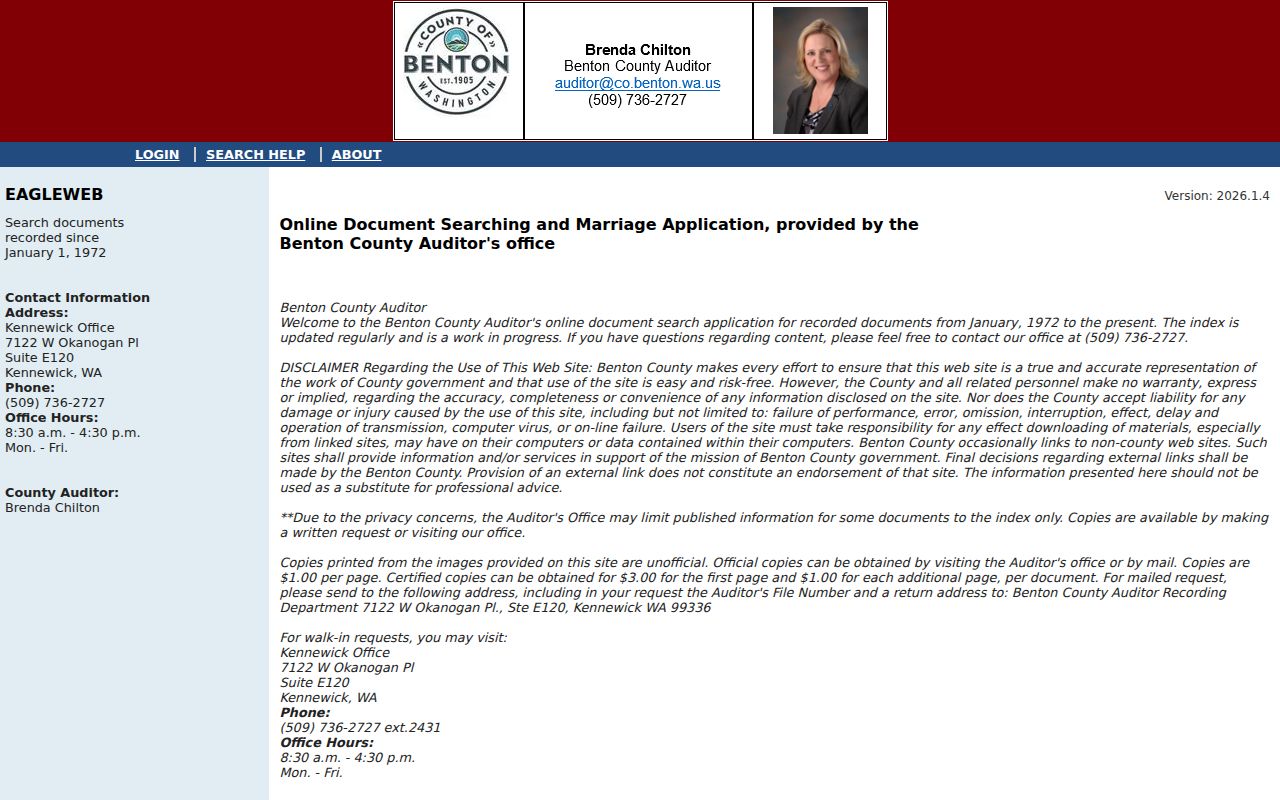
Online images are unofficial and may be withheld while the index remains visible, so request an office copy when the document itself matters.
Kennewick Street Records Compared
Each address-keyed record describes a different relationship to a Kennewick street. The street directory is strongest when those roles remain separate.
| Address source | Custodian | Street evidence | Available channel |
|---|---|---|---|
| Property card | Benton Assessor | Situs, owner, parcel, legal description | Free web portal, office contact |
| GIS map | Benton County GIS | Lot and road geometry, nearby parcel labels | Free official hub and viewer |
| Recorded documents | Benton Auditor | Named parties and legal land instruments | EagleWeb, office, mail, historical PDFs |
| Voter lists | Benton Elections and SOS | Public registration fields with protections | Inspection or copy request |
| Permits and plans | City of Kennewick | Work date, parcel, applicant or project record | EnerGov, old search, JustFOIA |
| Polk directories | Washington State Library | Dated name and address entries | Limited on-site appointment |
The parcel number and legal description bind the modern property sources. A normalized street line connects permits and historical directory entries. Voter material is a separate public list with strict use limits, not a free web roster.
Older Kennewick Street Records
Benton County's modern deed dates are not the oldest land dates. Official pages describe online starts in 1971 or 1972, while Washington Digital Archives offers a Benton index from 1969. County historical PDF indexes and cash or fee books cover the 1906 through 1970 bridge. FamilySearch catalogs earlier deed volumes with possible login or center restrictions.
For a cash-book lead, a numerical fee number can point to a volume, page, document type, filer, and date. Then ask the Auditor for the underlying record. The county request form accepts a date range, grantor, grantee, legal description, and contact details. Office and mail requests remain important because not all images are published online.
Keep the source range beside each result. A blank EagleWeb search can mean the item sits in an older index rather than that the transfer never occurred.
Kennewick Permit Address Timeline
The City of Kennewick separates current permit searching from older files. EnerGov handles the newer route, while the city's older site-plan search applies before the transition around November 1, 2021. Permit numbers may follow forms such as BLD-2021-12345.
Plumbing, mechanical, sewer, water, fire-system, and building files can establish when work occurred. Plot plans show structure placement within a lot; site plans and as-built drawings answer other design questions; plats are recorded land documents through the Auditor. None is an occupancy list.
If the portal fails, use the Kennewick records request portal, the City Hall lobby kiosk, pickup, or mail. Include address, parcel, permit number, department, record type, and date span.
The city code-enforcement page shows another address-based municipal record route.
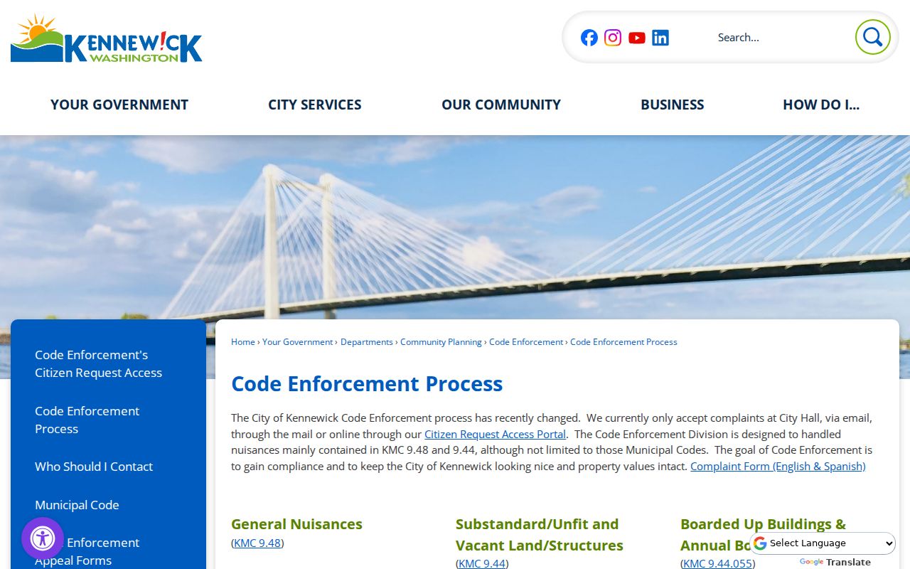
A code or permit file can add a dated property event, but it does not identify every resident.
Kennewick Directory Street Pages
The Washington State Library verifies Kennewick-related Polk runs for 1911 through 1918 and many separate years from 1952 through 2013. It also lists telephone books for 1958 and 1964. These are distinct products, and missing years should not be filled by assumption.
Search a surname in the correct city and year, then check the printed address and nearby years. For address-first work, look for a street section or reverse arrangement if the volume provides one. No official online Kennewick criss-cross database was found, so do not promise address-to-name searching from home. Library access is on site and currently limited by appointment.
When historical street work becomes the main task, the Kennewick city directory collection explains the verified runs without rebuilding them here.
When Kennewick Numbers Conflict
No official complete Kennewick street-renumbering table was located. An old address that fails in the modern portal should be tested against its directory year, city permit or site plan, recorded plat, Auditor file number, legal description, and newspaper notice. Do not invent a conversion from a nearby house number.
Directional letters, abbreviated street types, apartment lines, parcel splits, and postal standardization can also change a search result. The legal description is often the strongest bridge because it identifies the land apart from the street label. Record uncertainty when two sources cannot be reconciled.
Note: Search the year before and after a directory hit, and test initials or a spouse name before deciding the household vanished.
Kennewick Street Directory Terms
Four terms prevent most by-address mix-ups.
- Parcel
- A mapped unit of land with its own identifier and legal description.
- Situs address
- The physical location attached to the tax parcel, unlike the owner's mailing address.
- Plat
- A recorded map that lays out lots, blocks, roads, and related land divisions.
- Criss-cross directory
- A directory arranged by address or phone, useful for dated household research when a verified volume exists.
Use the source's own term in a research log. A portal's neighborhood code, tax area, postal ZIP, and city limit can all describe different boundaries.
Voter Data Along Kennewick Streets
Washington law allows inspection and copying of current precinct and voter-registration lists under RCW 29A.08.720. The public description includes name, address, year of birth, and voting history, with protected exceptions. The law bars use for advertising, solicitation, or offers for goods and services.
Request Benton voter lists through Elections and statewide extracts through the Secretary of State. VoteWA is the correct service for a person's own status. Do not merge a voter list with GIS parcels to publish who is on a block, and never try to reverse a Safe at Home substitute address.
Kennewick Street Directory Limits
A street directory cannot prove current occupancy. Property cards identify owners of record. Deeds name parties to land instruments. Permits document projects. Voter lists omit people who are not registered and withhold protected addresses. Historical directories can lag moves and reflect only the date and publishing method of one volume.
Official absence is not proof that a person never lived at an address. A spelling variant, closed year, record-retention rule, index-only entry, or protected field may explain the gap. Keep private data out of notes when it is not needed for the research question.
Commercial neighbor and people-finder tools often combine sources without showing when each field was gathered. The official Kennewick chain is slower but clearer: a named custodian, a stated record purpose, and a dated result. If a consequential fact depends on a deed or court filing, obtain the record from the Auditor or court rather than relying on a compiled street listing.
Lawful use. Kennewick address records are for legitimate personal research. Never use them to stalk, harass, threaten, intimidate, or defeat an address protection.